This is a shot of me on top of the peak, it was a pretty grueling hike with an elevation gain of 3500 feet and a distance of about 11 miles round trip. We had a great time and views that were unbeatable. It was windy and cold on the west face as we made our way to the top otherwise an amazing day for this really great hike!

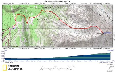
This is a GPS toppo of our route, the red line is the path that we walked, about halfway up we saw about 5 moose in the bushes about a hundred yards away and wished we had brought our binoculars.

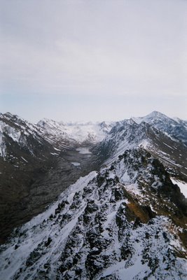
This is part of the view from the top, doesnt do it justice though. In the back of the valley is a hidden mountain lake called long lake.... we were surrounded by them on all sides!

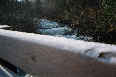
Too bad the stupid disposable camera didnt focus on the right thing, but these were ice crystal towers on the first bridge we crossed. For more pics of the hike see the web album here....

 This is a shot of me on top of the peak, it was a pretty grueling hike with an elevation gain of 3500 feet and a distance of about 11 miles round trip. We had a great time and views that were unbeatable. It was windy and cold on the west face as we made our way to the top otherwise an amazing day for this really great hike!
 This is a GPS toppo of our route, the red line is the path that we walked, about halfway up we saw about 5 moose in the bushes about a hundred yards away and wished we had brought our binoculars.
 This is part of the view from the top, doesnt do it justice though. In the back of the valley is a hidden mountain lake called long lake.... we were surrounded by them on all sides!
 Too bad the stupid disposable camera didnt focus on the right thing, but these were ice crystal towers on the first bridge we crossed. For more pics of the hike see the web album here....

No comments:
Post a Comment